
St. Louis Neighbor Sources
One St. Louis address can connect to several public sources, but each answers a narrower question. The City address result gives the parcel, assessed owner, owner mailing address, situs address, neighborhood, ward, precinct, legal description, permit links, and map context. City GIS supplies the block and parcel shapes around it. Recorder instruments describe ownership changes. A voter record can verify a matching registrant under Missouri rules. Community organizations supply public meeting and contact information, not a private roll of every household.
| Source | What It Shows About a Block | Access |
|---|---|---|
| City GIS parcels and blocks | Adjoining parcel geometry, City Block/Lot context, ZIP, ward, neighborhood, and city-limit layers | Free map service with JSON, GeoJSON, and PBF query formats |
| City Address & Property Search | Owner, mailing and situs addresses, parcel, value, class, year built, legal description, and permits | One City address or parcel at a time |
| Recorder deeds | Ownership changes, parties, and shared legal descriptions on nearby parcels | DirectSearch, counter, or mail; copies and searches can carry fees |
| Voter lookup or file | Registered name, address, district, and status clues for a matching voter | State lookup; requested files have fee and noncommercial limits |
| City RNO registry | Recognized community groups and public meeting contacts | Online City registry |
| Historic directories | Earlier address occupants and businesses by year | Library microfilm, fiche, and print |
An assessed owner is not automatically the person who lives at a parcel. A mailing address can point to correspondence elsewhere, and a shared mailing address may identify an office or a portfolio owner. Likewise, a voter result cannot identify every person at a property. Treat the source label as part of the fact, rather than merging records into an unsupported account of the people around an address.
Mapping the St. Louis Block
The immediate-block method starts at one anchor parcel and moves only to parcels that physically adjoin or face it. City GIS has layers for ZIP Codes, Neighborhoods, Wards, City Blocks, City Limits, zoning, and related boundaries. Its inspected public MapServer shows a layer list rather than a complete consumer lookup form. Use the map for spatial context, then open the City address result for each parcel instead of assuming the map is a public name export.
- Enter the anchor address in the City Address & Property Search and record the parcel ID, neighborhood, ward, precinct, ZIP, and legal description.
- Open the City GIS boundary service, turn on parcel and City Block context, and orient the address within the block face.
- Follow shared lot lines, alleys, corner parcels, and opposite-frontage parcels. Enter each adjoining address or parcel in the City property search.
- Compare the owner, mailing address, situs address, and legal description for each result. Keep different situs and mailing addresses distinct.
- For a full named-street record chain, use the St. Louis street directory after the immediate block has been identified.
The research did not expose public selection, measurement, buffer, or radius-export controls in the inspected MapServer. A block should therefore be read parcel by parcel. That limitation matters on corner lots and alleys, where a simple radius could collect locations that do not share the same block relationship.
St. Louis Block Parcels
Parcel fields are useful because they anchor the map to the City record system. The City result can show a parcel ID, collector account, City Block/Lot or legal description, owner, owner mailing address, property class, value, year built, unit facts, and permit links. A legal description is the property identifier used in deeds and plats. It can remain useful when a street name or number has changed.
Use permits, zoning, historic, and right-of-way layers to explain physical context, not to infer who occupies a property. Permit records may show an address, owner, contractor, permit type, issue date, status, description, and inspections. Recorder DirectSearch adds the grantor, grantee, instrument type, recording date, book or document number, and legal description. A named party on a deed may be a spouse, trustee, estate, corporation, lender, or owner. It should not be relabeled as a current neighbor without a separate source.
The City’s official neighborhood maps place a block within the City’s broader neighborhood geography.
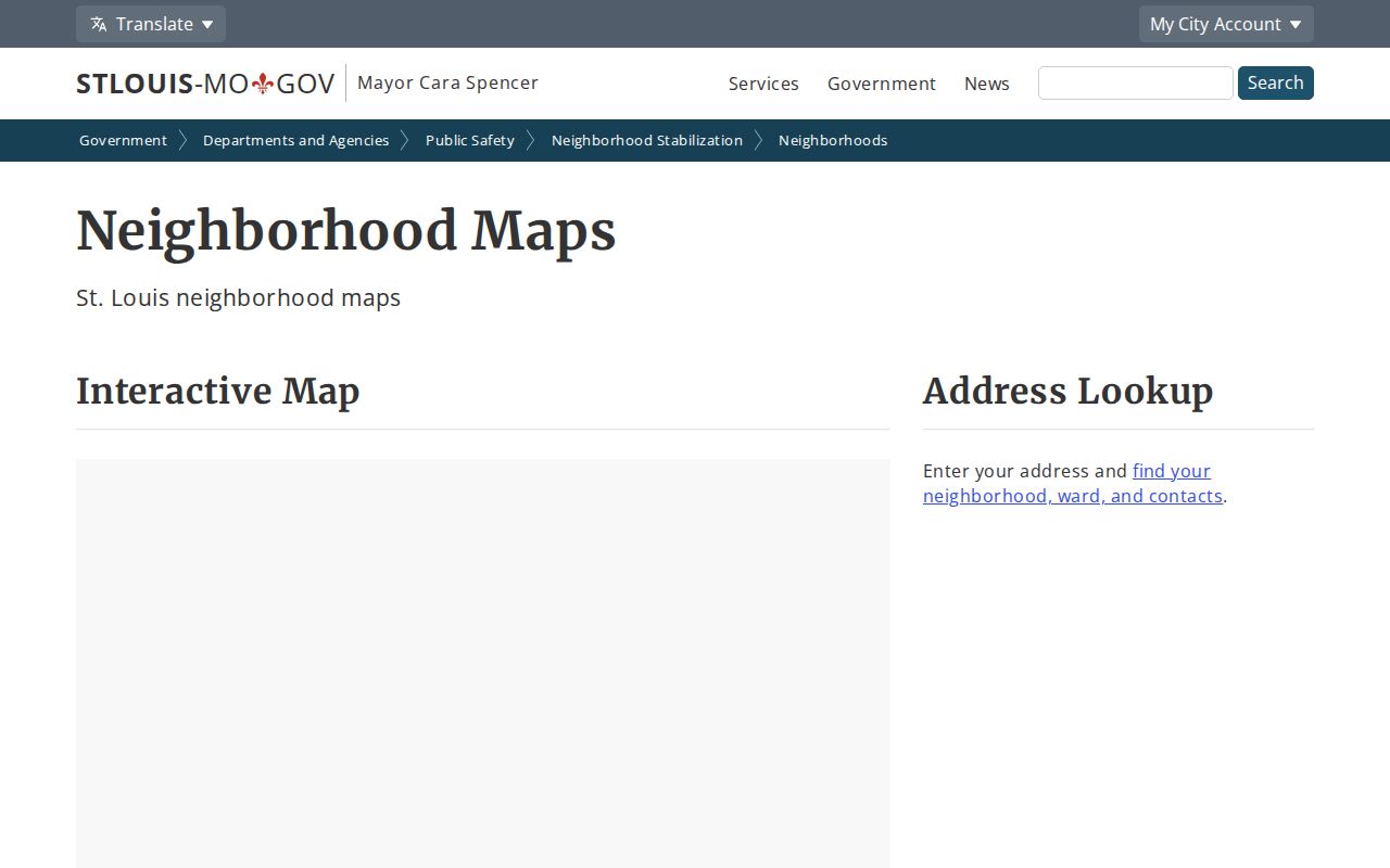
Neighborhood geography can orient a St. Louis block search, but a neighborhood label does not replace the parcel line, City limit, or current address result. It is a context layer alongside the physical block.
St. Louis Neighborhood Groups
St. Louis identifies 79 official neighborhoods. The City’s Registered Neighborhood Organization program adds a public civic-contact layer for the groups that register. Registered groups must hold at least four open meetings each year, keep governance documents, renew annually by November 1, and can receive City notices. Those rules make the registry useful for meeting and contact leads, while still leaving personal membership information outside the public block record.
The Registered Neighborhood Organization registry is the official starting point for current civic contacts.
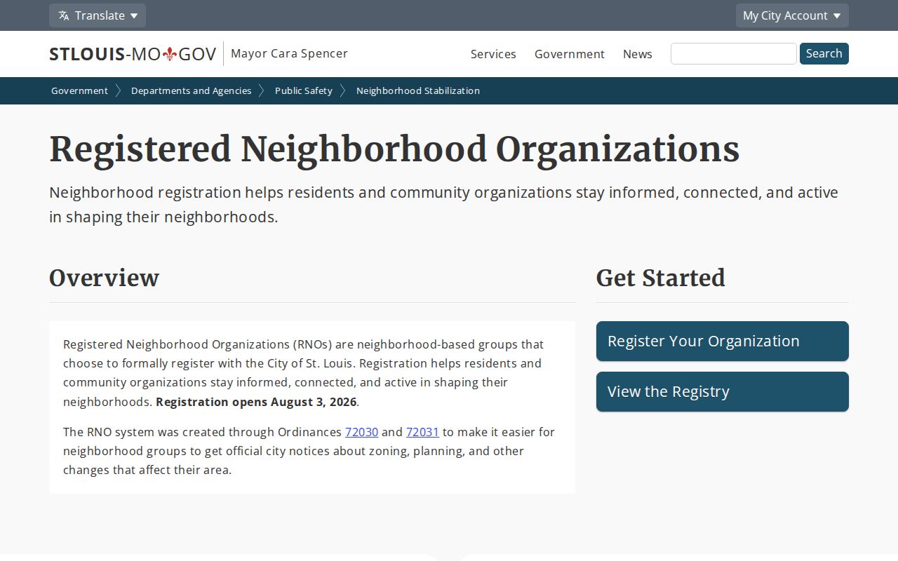
Registration produces a public contact and meeting layer, not a universal neighborhood directory. The registry contact is nst@stlouis-mo.gov, (314) 657-1392, at 1520 Market Room 4000/4087 during 8:00 a.m. to 5:00 p.m.
St. Louis Community Contacts
City association material lists community organizations that can help identify public meetings, boundaries, and civic points of contact. The name of a group does not prove that it covers a particular address or that a person belongs to it. Check the current City directory and the neighborhood map before treating an organization as relevant to a specific block.
| Association or Group | Neighborhood Context | Public Use |
|---|---|---|
| Benton Park Neighborhood Association | Benton Park | City association-directory contact lead |
| Better Bevo | Bevo area | City association-directory contact lead |
| Central West End Association | Central West End | City association-directory contact lead |
| Clayton-Tamm | Clayton-Tamm | City association-directory contact lead |
| Compton Heights Neighborhood Association | Compton Heights | City association-directory contact lead |
| Downtown Neighborhood Association | Downtown | City association-directory contact lead |
| Dutchtown South Community Corporation | Dutchtown South | City association-directory contact lead |
| Forest Park Southeast Neighborhood Association | Forest Park Southeast | City association-directory contact lead |
| Fox Park Neighborhood Association | Fox Park | City association-directory contact lead |
| Lafayette Square | Lafayette Square | City association-directory contact lead |
| Old North St. Louis Restoration Group | Old North | City association-directory contact lead |
| Shaw | Shaw | City association-directory contact lead |
| Soulard | Soulard | City association-directory contact lead |
| Southwest Garden | Southwest Garden | City association-directory contact lead |
| Tower Grove East and Tower Grove South | Tower Grove | City association-directory contact leads |
The City neighborhood-association material is a current source for these public community contacts.
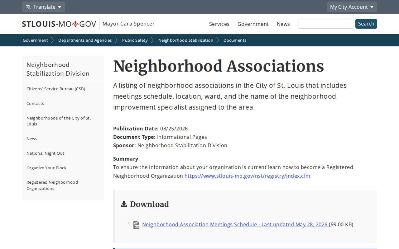
Association contacts can make it easier to find an open meeting or verify a neighborhood name. Private member rosters remain separate from a public contact directory.
St. Louis Neighbor Records
Missouri voter lookup is a verification tool for a matching individual, not a way to obtain a complete block list. The inspected state form requires registered first name, last name, date of birth, last four SSN digits, and county. City guidance also describes an address-based verification path that needs the first and last name, house number, street name without street type, date of birth, and county. If an address is unusual, the City Board of Election Commissioners directs people to call or visit.
RSMo 115.157 identifies public voter fields such as name, year of birth, address, ward, precinct, and districts, while excluding SSNs, full birth dates, ballot choices, and protected Safe at Home residences. A fee-based voter file may be available through an election authority for an allowed request, but Missouri does not require that it be posted online and prohibits commercial use. The City Board is at 300 N. Tucker, (314) 622-4336, Monday through Friday from 8:00 a.m. to 5:00 p.m., with electionboard@stlouis-mo.gov for contact. Ask the City office for current request terms rather than importing a county fee schedule.
Note: A voter record can support a matching registration check, but it cannot establish every current neighbor, household member, or parcel owner on a block.
St. Louis Block Comparisons
Official sources describe their own record purpose and access conditions. A City parcel record ties a result to an address or parcel, a Recorder instrument preserves a dated land transaction, and an RNO page offers a public civic contact. Commercial block-lookup tools are a different category. They compile property, directory, and marketing data that can be stale or can conflate owners, past occupants, and similarly named people.
| Source Category | Useful For | Limit |
|---|---|---|
| Official parcel, GIS, and recorder records | Property, location, boundary, and recorded-instrument research | Each record has a defined purpose and may not identify occupants. |
| Election records | Verification of a matching registration under Missouri rules | Not a complete resident roll; protected records and use restrictions apply. |
| Community contacts | Public meetings, organization contacts, and neighborhood orientation | Not private membership or household information. |
| Commercial block tools | Possible leads to verify at the custodian | May be incomplete, old, or wrongly joined. |
Historic directories, phone books, and the library’s local collections are better for a past block than a current household claim. St. Louis Public Library Special Collections and St. Louis County Library History & Genealogy holdings can help locate a directory edition, map, or obituary index when the question is historical.
St. Louis Block Privacy
Some parts of a block stay outside a normal public lookup. People not named in the parcel record, other household members, utility customers, delivery records, private association lists, and DMV addresses are not a public parcel roster. Safe at Home participants can use a substitute address, and Missouri voter law protects that residential information. Court records may also contain juvenile, adoption, sealed, expunged, protection-order, or other protected categories. Do not copy sensitive identifiers from a record or try to fill a gap with a private source.
Lawful use. St. Louis block research is appropriate for personal history, civic curiosity, reconnecting, and getting to know an area. Using records to stalk, harass, intimidate, or harm anyone is prohibited.
When a source appears wrong, save its URL, inspection date, parcel or document number, and the custodian contact. A City correction or redaction request addresses the underlying record; a private profile removal does not change the City Assessor, Recorder, court, voter, license, or newspaper source. Missouri has no universal source-record deletion right identified in the reviewed material.
St. Louis Block Access
Online access starts with the City Address & Property Search and the GIS boundary layers. For ownership-transfer records, plats, or mapping support, City Assessor Records & Mapping is at City Hall Room 114 and can be reached at (314) 622-3212. Recorder DirectSearch is the online land index; counter and mail routes remain available for older material or when a copy is needed. City guidance is strongest for the July 1982-present land workflow, while earlier work may require Recorder or Assessor counter assistance and historic books.
For civic contacts, use the City RNO registry and association directory. For a historical block, use library microfilm, fiche, print directories, maps, and special collections. The Missouri Historical Society address index has street-number and street-name modes, including 12** for a 1200-series address. Each route answers a different question, which keeps an address search tied to the immediate block rather than a broad and unreliable name sweep.